
Meet Navi: Your 24/7 AI Instructor Inside the MLS Classroom
Unlock 24/7 access to Navi, an AI instructor trained on MLS course material, so you can ask questions, run practice quizzes, and nail your captain’s exam.


Safe navigation on the water depends on accurate nautical charts. Luckily, you don’t have to carry around huge paper charts and a small trove of rulers and compasses anymore. Instead, you can easily access electronic nautical charts to plan your next voyage.
But with all the different types available, how do you know which type of electronic nautical chart is right for you? Below, we break down the difference between raster and vector charts so you can make an informed decision.

Electronic nautical charts are official digital databases that mariners can use for navigation. They serve as alternatives to traditional paper nautical charts, and they can indicate your location and the location of navigational aids, anchorages, and other features. They also show the depth of the water and help ensure you’re navigating safely.
To make an electronic version, paper charts are scanned and broken down into a large number of pixels, and the position and color of each pixel is recorded. The chart scanner stores this information on the cartographer’s computer, from which it can be copied onto memory cards or CDs and supplied to customers.
All electronic nautical charts must meet certain internationally recognized standards and serve similar purposes, but different types of charts have different features and benefits.
Raster charts and vector charts are the two main types of electronic nautical charts.
Raster charts are relatively inexpensive and simple to make, but each chart uses a lot of memory or disk space. Because they’re electronically copied straight from paper charts, they’re familiar in appearance and contain exactly the same information. Nothing is added or taken away.
The drawback is that they’re only effective at the same scale as the original chart. When you zoom in, the letters and symbols become huge, but without any extra detail becoming visible. And if you zoom out, names and symbols become illegible.
Vector charts are produced by electronically tracing raster charts. The fundamental difference with vector charts is that lines aren’t stored as strings of darkened pixels but as digital vector lines. Vector charts originally became popular for small boat hardware plotters because, although they’re more expensive to produce, they occupy much less memory than raster charts.
The vector format allows greater flexibility. You can zoom in or out much farther than on a raster chart, and the letters and symbols automatically adjust to stay the same size on your screen.

In addition to scaling abilities, raster charts and vector charts represent real-world objects differently. Raster charts display features such as buoys by rendering their symbols exactly as they appear on the original paper chart. Vector charts, on the other hand, link an object’s position to a database of information about the object.
The software can use this database in various ways. Some programs represent all navigation aids by using the same diamond-shaped symbol. When you select one, the software reveals the data in a text panel somewhere on the screen. Other systems use the database information to display a symbol showing the shape and color of the aid.
More sophisticated versions of this are used on some electronic charts to provide graphic representations of the changing tide at particular places, to provide additional information such as lists of port facilities, or to superimpose arrows showing the tidal stream on top of the main chart.
Now that you know the differences between these two types of electronic navigational charts, make sure you know how to read them properly!
By taking a course with Mariners, you’ll gain the expertise you need to read nautical charts and safely plan your voyages. Learn more about our targeted course options here.
Ask a question, share an experience, or add a helpful tip related to this article. Comments may appear after review to prevent spam.
Unlock 24/7 access to Navi, an AI instructor trained on MLS course material, so you can ask questions, run practice quizzes, and nail your captain’s exam.


Learn what questions to ask and how to prepare for a captain’s license drug test to ensure you avoid the most common application delays.
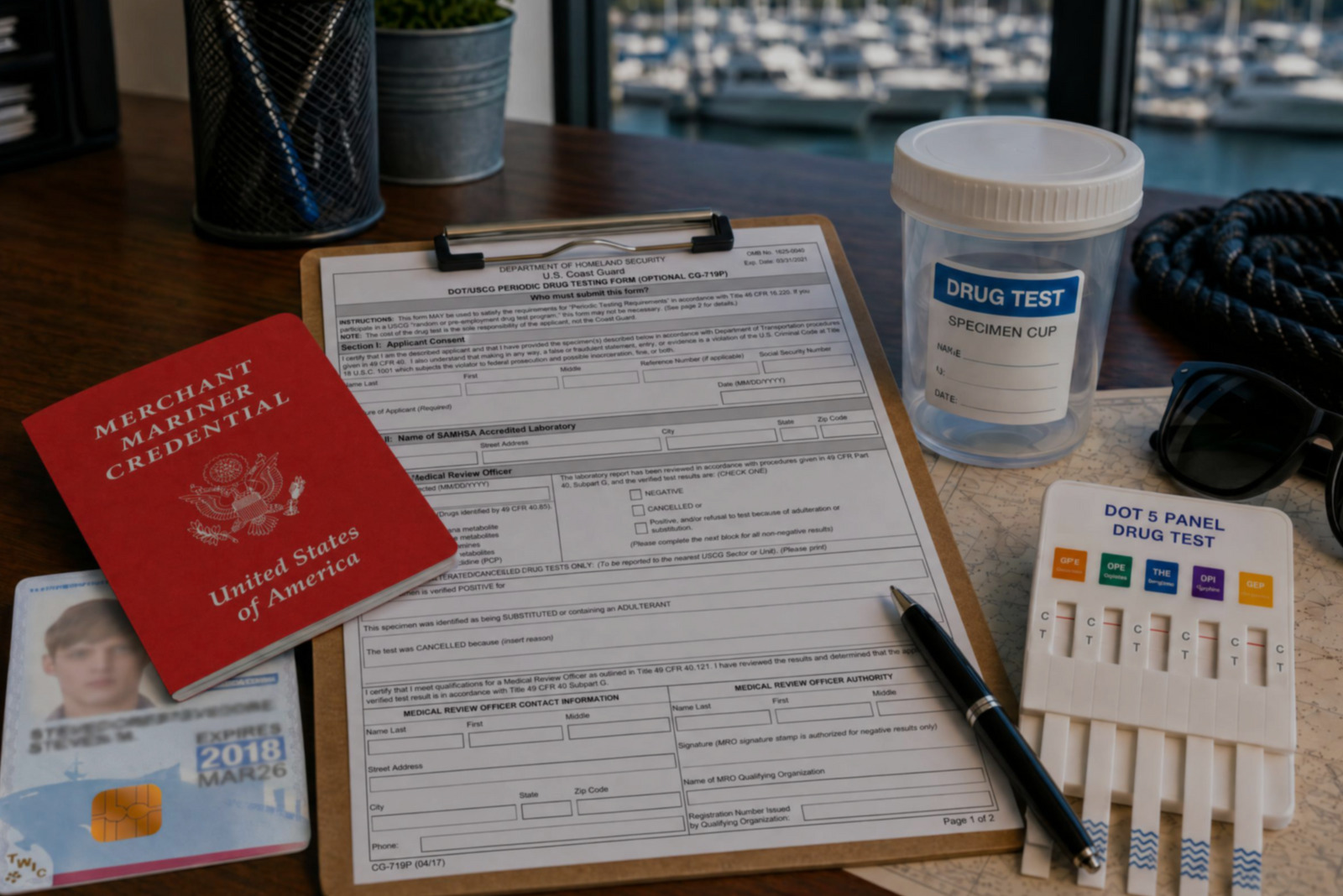

Discover the three types of drug tests working captains must submit to even after they’ve met the initial USCG drug testing requirements for their license.


Discover how a retired airline pilot became obsessed with the Great Loop and built a thriving captain training business through Mariners Learning System.


Learn which substances the MMC drug test looks for, plus how masking agents and false positives factor in.


Discover the five most common mistakes mariners make on the captain’s license physical, plus a checklist for how to avoid them.

Discover why so many charter captains run out of money and how to plan every startup cost from your vessel purchase to guest-ready outfitting.


Learn how to build a charter business plan that covers pricing, expenses, and marketing so your captain’s license leads to lasting profit.


Transform how you talk about price with proven anchoring strategies and value-first framing that stops charter guests from shopping around.


Discover how charter captains use hybrid pricing models and seasonal adjustments to increase revenue and simplify bookings for every guest type.