
Meet Navi: Your 24/7 AI Instructor Inside the MLS Classroom
Unlock 24/7 access to Navi, an AI instructor trained on MLS course material, so you can ask questions, run practice quizzes, and nail your captain’s exam.
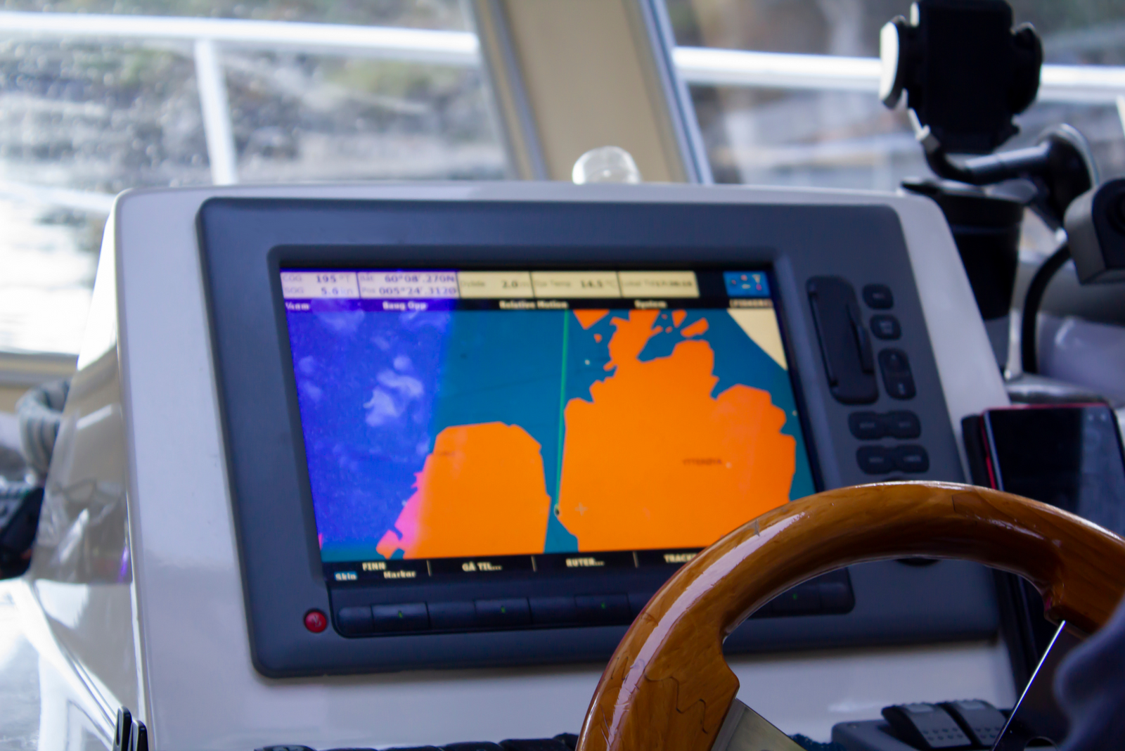

Using a GPS is an efficient and easy method for navigating a boat. GPS systems use satellite signals to calculate your position accurately and continuously, and they’re much more compact than traditional analog charts.
Are you getting the most out of your GPS? Here’s our top tip on how to use boat GPS navigation: store waypoints.
Waypoints aren’t magical; they’re simply stored positions in your GPS memory.
Usually, a waypoint is either your intended destination or, as the name suggests, an intermediate point you want to travel through on the way there. One or more waypoints that you intend to pass through in a particular order create a route or a sail plan.

When entering waypoints, be aware that many GPS receivers require you to input latitude and longitude in a rigidly defined format.
For example, many types of GPS require that the degrees of longitude be given as three figures. So, if you enter 1°26’10 W as “1 26 1”, the GPS may store this as 126°10’.00 W. Your receiver may also require minutes in two (or three) places of decimals, in which case the same entry would be stored as 0°12’.61 W.
Whatever process your GPS uses, make sure you understand how to input the data correctly.
Additionally, while some of the simplest GPS receivers require you to enter your waypoints in order, most modern units allow you to pick, choose, and rearrange your waypoints. This is particularly useful for fishers who want to store the latitude and longitude of all the local fishing holes in their GPS memory. Then they can quickly assemble the relevant ones into a route when fishing a tournament or going on a weekend trip.
Many boaters forget to enter the direction of latitude (N or S) or longitude (E or W) when using a GPS. For instance, if you’re on your way to New York City, you probably take it for granted that you’ll be west of the prime meridian — but your electronic GPS does not.
Another common mistake is making waypoint navigation overly complicated. Concentrating solely on the waypoints while you plan your route is easy, but don’t forget why you use them. You intend to travel from one waypoint to the other, and circumstances permitting, you’ll do so in a series of straight lines.
Rather than putting a waypoint off each main cape, peninsula, or bluff along the way, draw the route as a series of straight lines first. Then, put a waypoint at each corner.

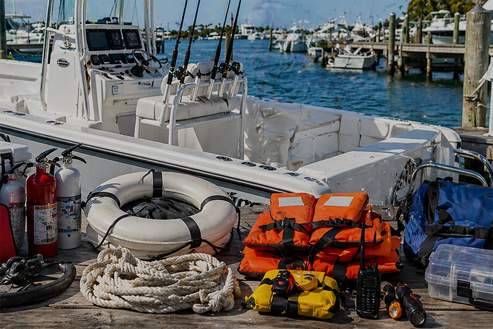
Want to become a navigation expert? Earning your captain’s license is a great way to gain the theoretical knowledge and practical experience you need to succeed on the water. In fact, chart plotting and navigation rules of the road are significant portions of the captain’s license exam.
Mariners Learning System courses go beyond showing you how to use boat GPS navigation — they dive deep into the subject matter and guarantee you’ll be prepared for anything. Learn more about our courses today.
Ask a question, share an experience, or add a helpful tip related to this article. Comments may appear after review to prevent spam.
Unlock 24/7 access to Navi, an AI instructor trained on MLS course material, so you can ask questions, run practice quizzes, and nail your captain’s exam.


Learn what questions to ask and how to prepare for a captain’s license drug test to ensure you avoid the most common application delays.
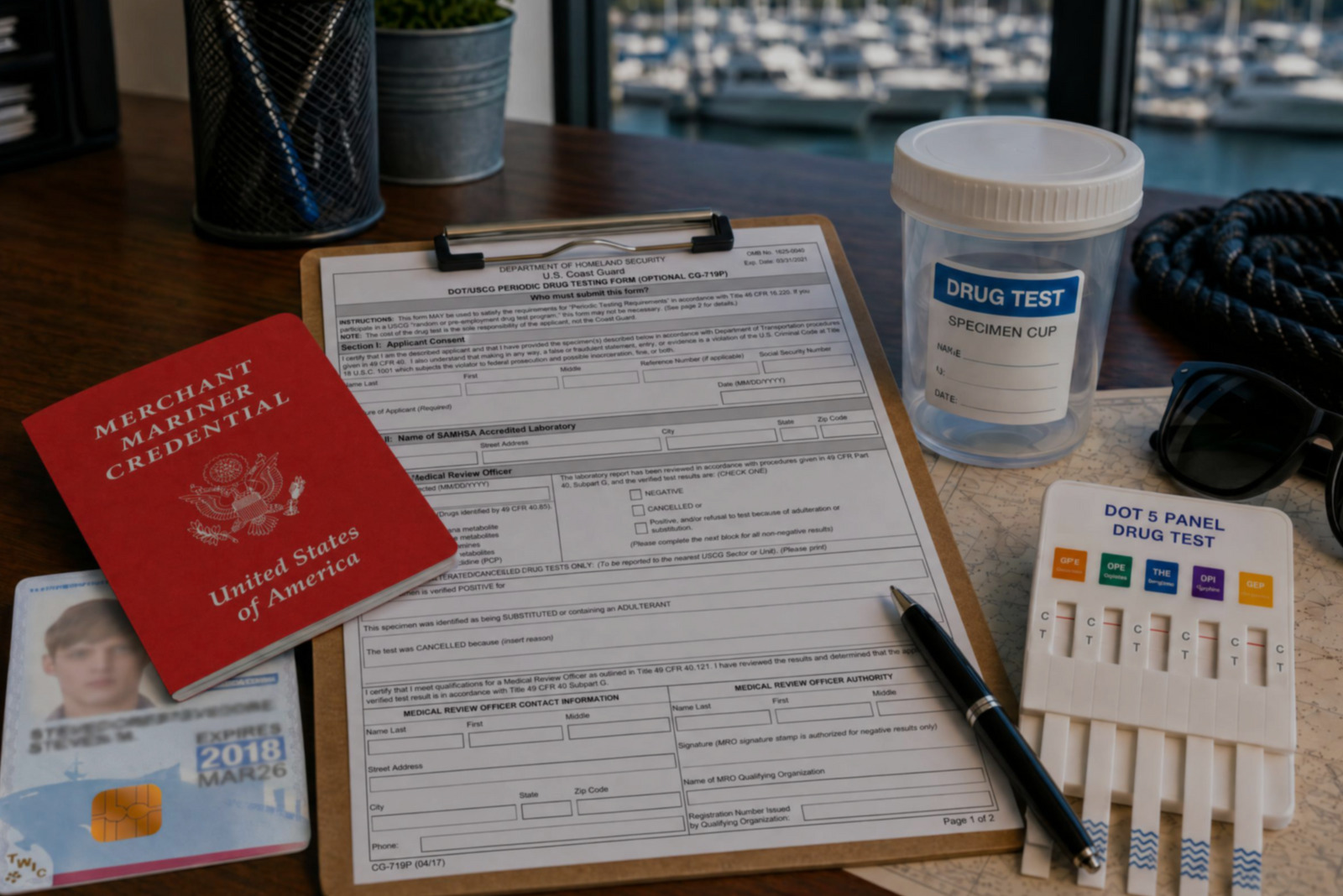

Discover the three types of drug tests working captains must submit to even after they’ve met the initial USCG drug testing requirements for their license.
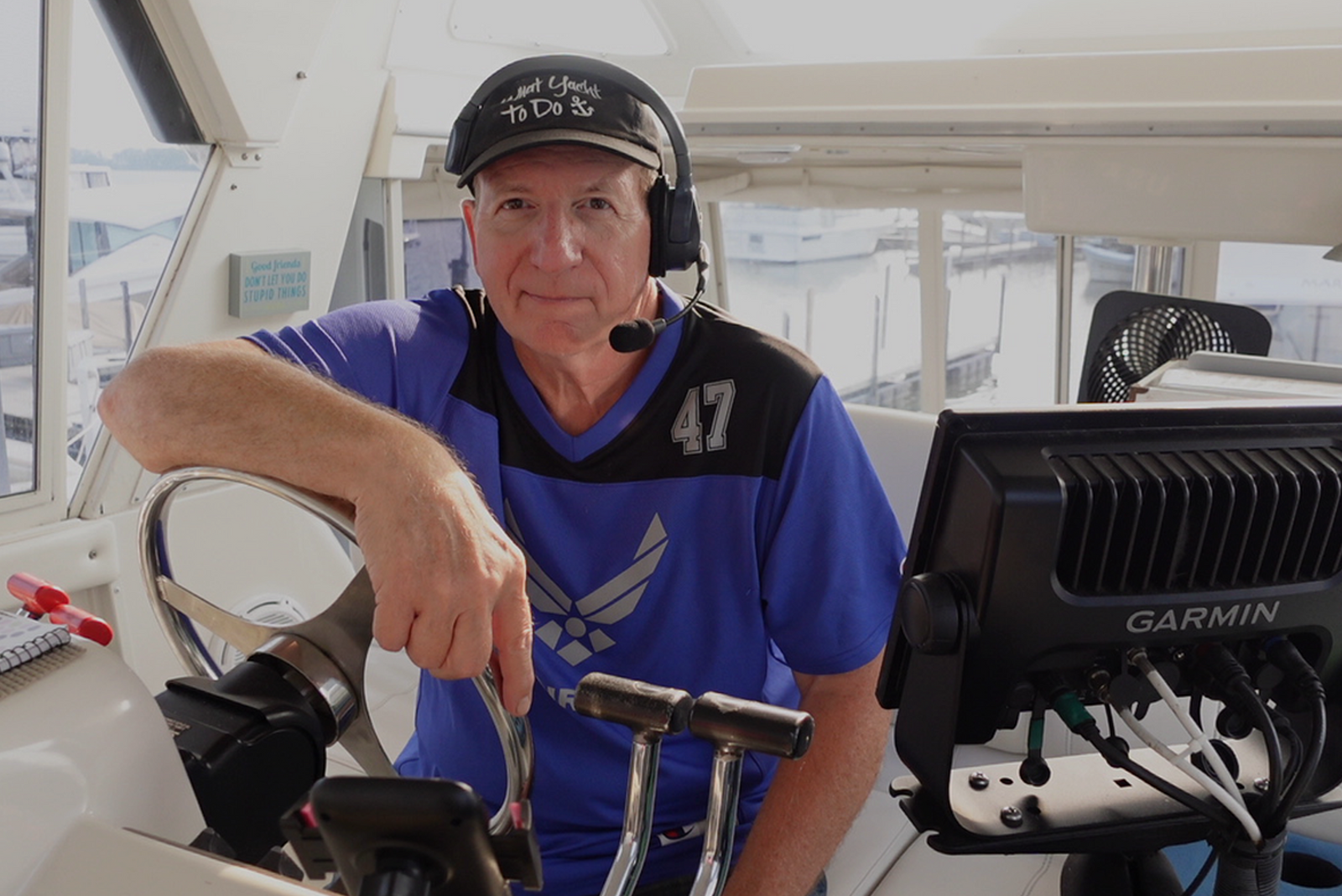

Discover how a retired airline pilot became obsessed with the Great Loop and built a thriving captain training business through Mariners Learning System.


Learn which substances the MMC drug test looks for, plus how masking agents and false positives factor in.


Discover the five most common mistakes mariners make on the captain’s license physical, plus a checklist for how to avoid them.

Discover why so many charter captains run out of money and how to plan every startup cost from your vessel purchase to guest-ready outfitting.

Learn how to build a charter business plan that covers pricing, expenses, and marketing so your captain’s license leads to lasting profit.


Transform how you talk about price with proven anchoring strategies and value-first framing that stops charter guests from shopping around.

Discover how charter captains use hybrid pricing models and seasonal adjustments to increase revenue and simplify bookings for every guest type.