

Meet Navi: Your 24/7 AI Instructor Inside the MLS Classroom
Unlock 24/7 access to Navi, an AI instructor trained on MLS course material, so you can ask questions, run practice quizzes, and nail your captain’s exam.
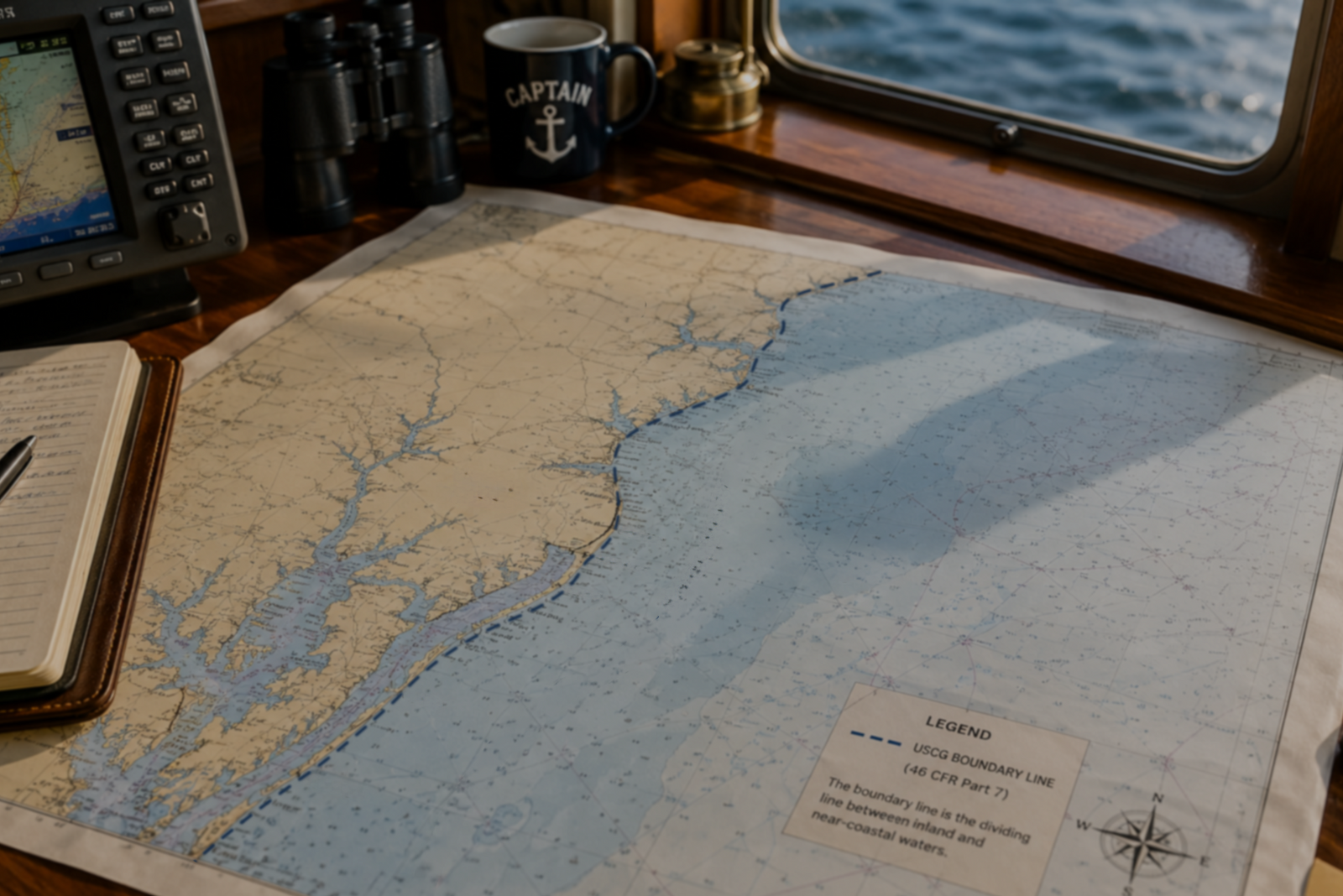

The U.S. Coast Guard (USCG) Boundary Line is the dividing line between inland and near-coastal waters, defined in 46 CFR Part 7. It determines which type of captain’s license you qualify for based on where your sea time was earned. Boating inside the line counts as inland experience; boating outside counts as near-coastal.
Most aspiring captains don’t realize the Boundary Line exists until they start filling out their sea service forms. That’s when they discover where they’ve been boating matters just as much as how long they’ve been doing it.
The line isn’t something you’ll see painted on the water. It’s a regulatory boundary that determines whether your time counts toward an inland license, a near-coastal license, or both.
Here’s what you need to know.
The USCG Boundary Line separates inland waters from near-coastal (offshore) waters along the U.S. coastline. It’s defined in 46 CFR Part 7, a federal regulation that sets the dividing point for load line requirements and, more importantly for license applicants, for sea service classification. Every day you’ve spent on the water falls into one of three categories: inland, near-coastal, or Great Lakes. The Boundary Line is what separates inland from near-coastal, and that distinction directly controls which captain’s license the National Maritime Center (NMC) will issue you.
On the Atlantic and Pacific coasts, the line generally follows the high-water shoreline. It extends across the mouths of bays, inlets, harbors, and rivers. In most cases, the moment you cross seaward of an inlet entrance, you’ve crossed outside the Boundary Line and into near-coastal waters.
The Great Lakes are a separate category. The Boundary Line doesn’t apply there. Sea time on the Great Lakes earns its own endorsement and can also count toward near-coastal experience.

The NMC classifies your time on the water based on where you were relative to the line. When you fill out CG-719S, the Small Vessel Sea Service form, you’ll break your days into inland, near-coastal, and Great Lakes categories. The NMC reviews those numbers against the requirements for the license type you’re applying for.
The type of water where you’ve earned your experience determines which license endorsement you can get. Below is how the sea time requirements break down for each license type. The NMC checklist uses days, not months, so that’s the register we’ll use here.
|
License Type |
Total Sea Time |
Near-Coastal Requirement |
Great Lakes Requirement |
Recency |
|
OUPV/Six-Pack Inland |
360 Days |
None |
None |
90 Days in Last 7 Years |
|
OUPV/Six-Pack Near Coastal |
360 Days |
90 Days Outside Boundary Line |
N/A |
90 Days in Last 7 Years |
|
OUPV/Six-Pack Great Lakes and Near Coastal |
360 Days |
N/A |
90 Days on Great Lakes |
90 Days in Last 7 Years |
|
Master Inland |
360 Days |
None |
None |
90 Days in Last 7 Years |
|
Master Near Coastal |
720 Days |
360 Days Outside Boundary Line |
N/A |
90 Days in Last 7 Years |
The recency window for all national officer endorsements is seven years, per the USCG Office of Merchant Mariner Credentialing Policy Letter 02-25 (September 2025), which extended the previous three-year civilian window to match the uniformed-services standard.

Most of the confusion comes from three regions where the Boundary Line doesn’t follow the intuitive shoreline. Mariners in the Gulf of America, New England, and areas near large bays like Chesapeake Bay and Long Island Sound are most commonly surprised by where the line actually falls.
Between the Marquesas Keys in Florida and the Rio Grande River mouth in Texas, the Boundary Line sits a full 12 nautical miles offshore. It follows the “Territorial Sea” boundary on nautical charts. You can be miles from shore, with nothing but open water around you, and still be on the inland side of the Boundary Line.
Along Florida’s western coast between Crystal Bay and Hudson Creek, Congress widened the corridor to 15 nautical miles offshore.
From West Quoddy Head Light at the U.S./Canadian border to Race Point Light at the tip of Cape Cod, the Boundary Line follows a series of lights and offshore buoys. Unlike the Gulf, where the line is a consistent 12 miles out, the New England Boundary Line is an irregular distance from shore.
The Coast Guard classifies Chesapeake Bay, Long Island Sound, and similar enclosed bodies of water as inland waters. If all your experience has been on those waters, it counts as inland time on your CG-719S, even though the conditions there can feel like open ocean.
The Boundary Line and the Demarcation Line serve different purposes. The Boundary Line (46 CFR Part 7) determines load line requirements and sea service classification for licensing.
The Demarcation Line (33 CFR Part 80) separates domestic Inland Navigation Rules from international COLREGs, the rules that govern open-water navigation. The two lines may overlap in some coastal locations, but they aren’t the same and don’t affect your license the same way.
When you complete CG-719S, you’ll record days in three boxes: Great Lakes, inland (inside the Boundary Line), and near-coastal (outside the Boundary Line). The totals in those boxes must match the overall total in Box 1. A minimum of four hours on the water counts as one day for OUPV/Six-Pack and Master license applicants on vessels under 100 gross tons.
If you’re not sure whether your waters fall inside or outside the Boundary Line, check 46 CFR Part 7 for your specific coastline section. You can also download and print the general Boundary Line PDF from our site, or call the NMC at (888) 427-5662.
Fill out one CG-719S per vessel. Each form covers a single vessel for up to five years. Record your days as accurately as you can based on your best recollection. The Coast Guard isn’t looking for official logbooks; they want an honest accounting of your time on the water.
Yes. You don’t need commercial experience. If you own the boat, you can self-certify your sea time with proof of ownership (state registration, documentation, or insurance). If the time was on a friend’s or family member’s boat, the owner needs to sign your CG-719S verifying your days.
No. The Boundary Line (46 CFR Part 7) is a regulatory boundary, not a navigational aid. It doesn’t appear on NOAA charts. Consult 46 CFR Part 7 for the specific sections describing the line in your area.
Yes. The Coast Guard treats Great Lakes sea time the same as near-coastal time. If you accumulate 90 days on the Great Lakes, you can qualify for a Near Coastal and Great Lakes OUPV/Six-Pack license without any ocean time.
Not if you only want an inland license. An Inland OUPV/Six-Pack captain’s license lets you carry up to six paying passengers on inland waters. You’ll need near-coastal time only if you want to operate in coastal waters up to 100 miles offshore.
The Boundary Line is one of those details that doesn’t seem important until you’re sitting in front of your application and wondering why your sea time doesn’t add up the way you expected. If you’ve been boating for years in the Gulf of America but never past the 12-mile mark, or in Chesapeake Bay thinking it was coastal, now’s the time to recalculate.
Your license type starts with your sea time. Your sea time starts with knowing where you’ve been.
If you have questions about the Boundary Line or any other part of the application process, the team at Mariners Learning System is here to help. We’ve guided more than 200,000 students through this process, and we’re not going to let paperwork be the reason you don’t get your license.
This blog post provides general guidance about USCG Boundary Lines and licensing. Regulations can change. For the most current information, contact the National Maritime Center at (888) 427-5662. Reviewed for accuracy against current USCG guidance by the Mariners Learning System team.
Ask a question, share an experience, or add a helpful tip related to this article. Comments may appear after review to prevent spam.
Unlock 24/7 access to Navi, an AI instructor trained on MLS course material, so you can ask questions, run practice quizzes, and nail your captain’s exam.


Learn what questions to ask and how to prepare for a captain’s license drug test to ensure you avoid the most common application delays.
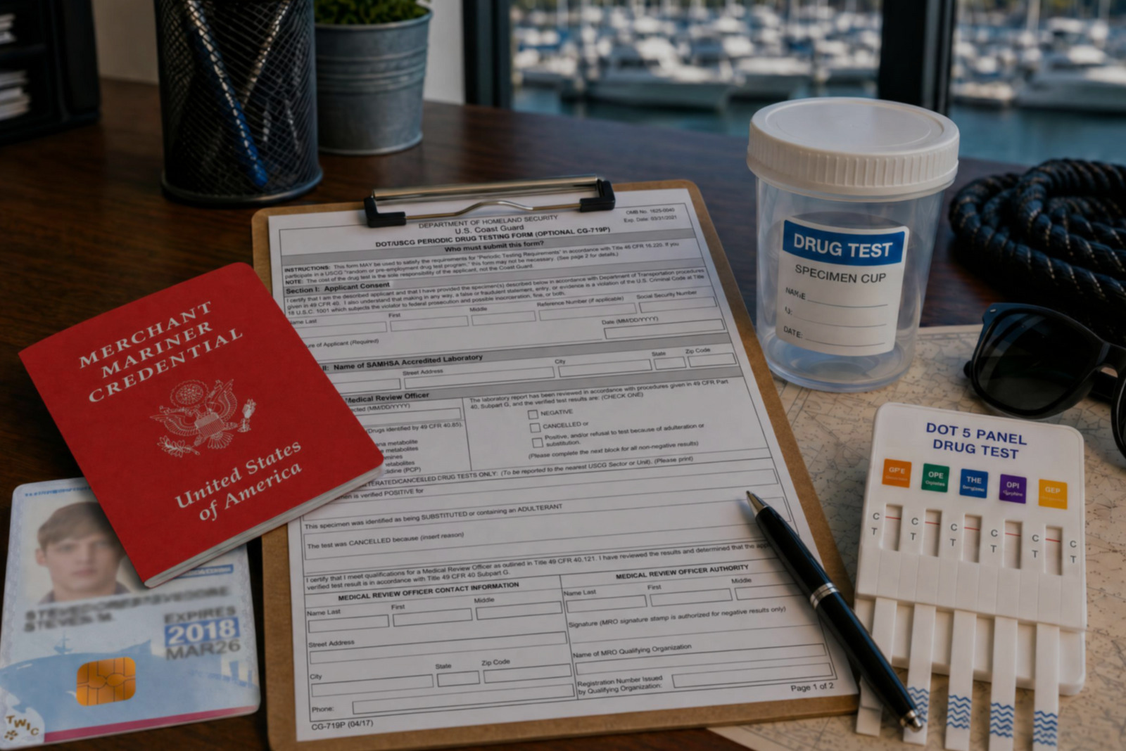

Discover the three types of drug tests working captains must submit to even after they’ve met the initial USCG drug testing requirements for their license.
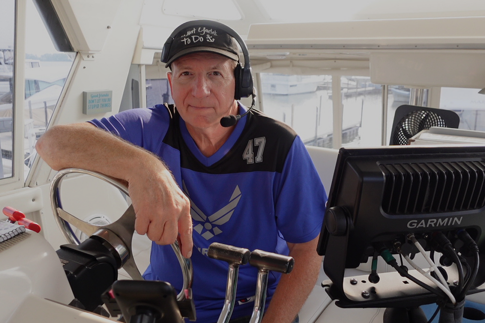

Discover how a retired airline pilot became obsessed with the Great Loop and built a thriving captain training business through Mariners Learning System.


Learn which substances the MMC drug test looks for, plus how masking agents and false positives factor in.


Discover the five most common mistakes mariners make on the captain’s license physical, plus a checklist for how to avoid them.
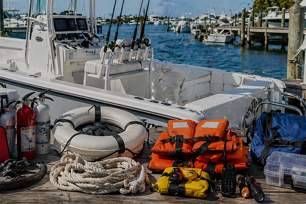

Discover why so many charter captains run out of money and how to plan every startup cost from your vessel purchase to guest-ready outfitting.

Learn how to build a charter business plan that covers pricing, expenses, and marketing so your captain’s license leads to lasting profit.

Transform how you talk about price with proven anchoring strategies and value-first framing that stops charter guests from shopping around.

Discover how charter captains use hybrid pricing models and seasonal adjustments to increase revenue and simplify bookings for every guest type.